 Taken from my dad's car, this is an apartment complex on W. Esplanade Ave. near Williams Blvd. This is not the worst of it.
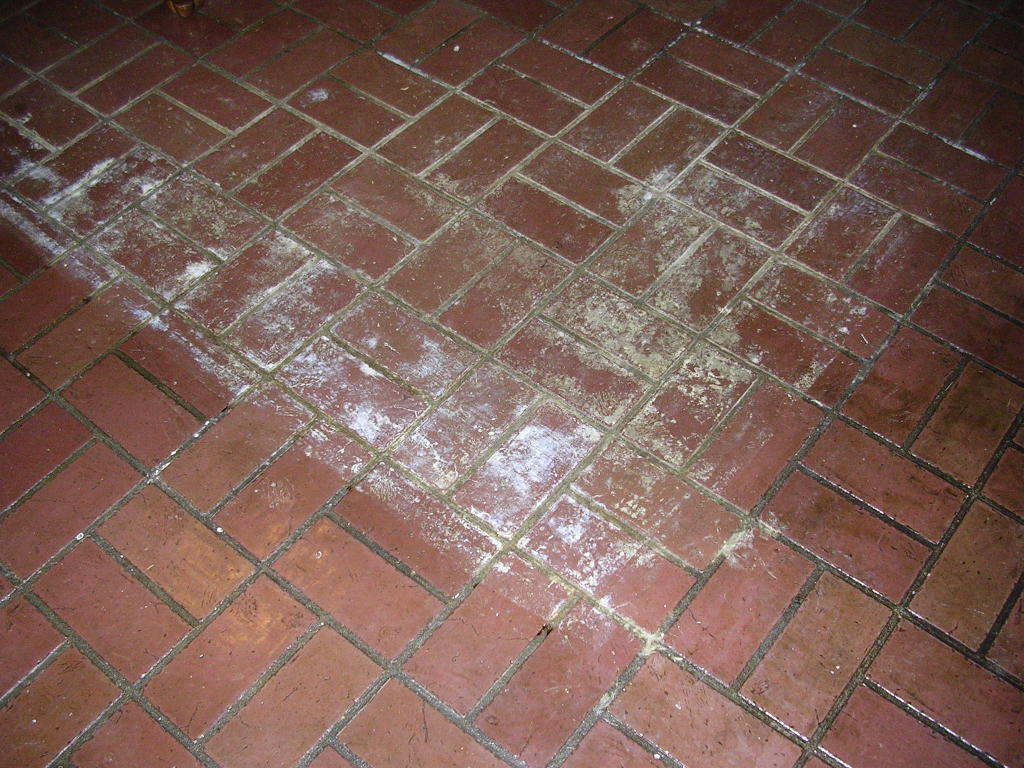
My old room at my parents house, which is now an office. My parents lost all of their flooring from wind-blown waters seeping through the weep-holes of their brick house. The black is the foam on the floor under the carpet. It looks like a cow.
 The oriental rug in the den in my parents' house got wet from water seeping through the chimney, despite having the flue closed. It left these ugly marks on the floor.
 The National Guard drove down the street while we were moving some of my parents' stuff back to their house. Notice the piles of carpet and personal items piled along the street. I was in the car in the driveway when the drove past, so the picture is a little off. That's our neighbor's front yard. Don't mistake them for us. You'll see why in coming installments.
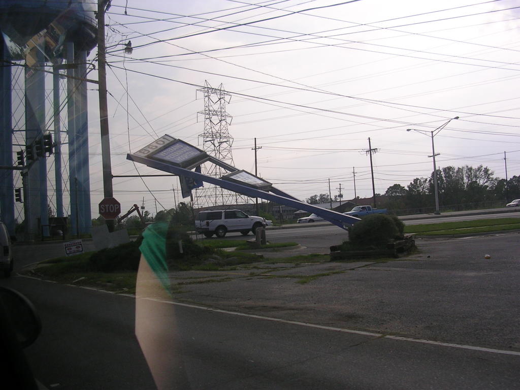 This sign is on the corner of Power Blvd. and Veterans Blvd. My old high school is in the background.
 Taken from a moving vehicle. This is the David Dr. side of Lafreniere Park. They are dumping all of the tree debris here. In about four days, the tree debris pile was about 100 square yards long and about 5 stories high. Much more is still being trucked in daily.
 Also taken from a moving car. This is a BP station (not my dad's) on Airline Drive in Kenner. The canopy bent to the ground.
 This is a runway of Louis Armstrong International Airport. Military is using it as base camp. Also from a moving car.
 This Shell station's canopy had been moved a week after I first saw it. It's on Hwy 90 near Hahnville High School. It originally was next to where it had been, as if it tipped up on its side, and fell, flipped upside-down. I don't know when or why it moved.
No comments:
Post a Comment